
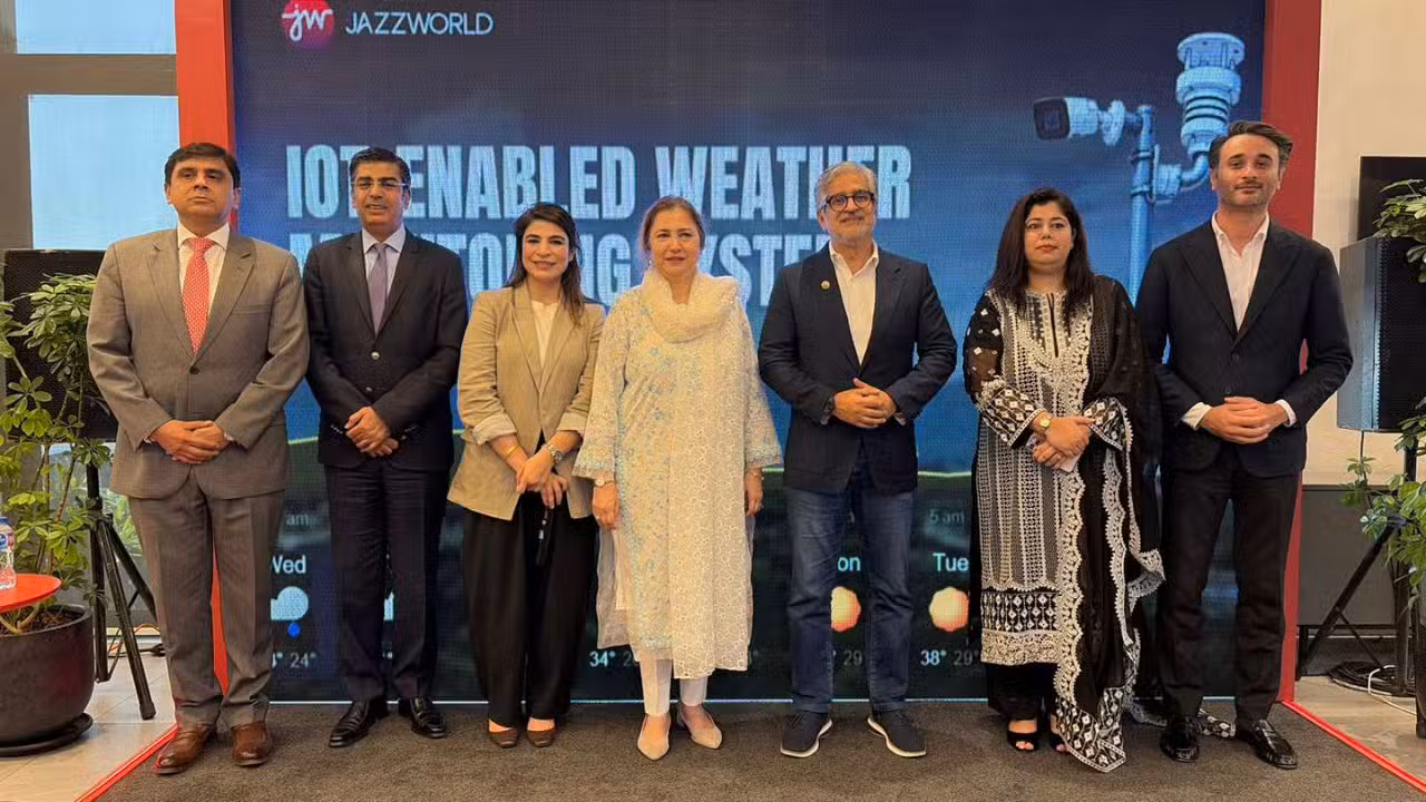
Pakistan’s leading digital operator, Jazz, has officially deployed its first commercial-grade Internet of Things (IoT) enabled automatic weather monitoring stations. The infrastructure project aims to address the critical gaps in hyper-local environmental monitoring and provide real-time atmospheric data to combat the increasing threat of climate-induced disasters. This rollout marks a shift from centralized macro-forecasting to highly localized telemetry tracking, specifically designed to protect agricultural yields and enhance disaster response preparedness in vulnerable rural and urban zones.
The initiative leverages Jazz’s extensive nationwide cellular network infrastructure to host standalone, solar-powered sensor nodes. By combining hardware arrays with cloud-based visualization dashboards, the telecom giant aims to scale down grid-length weather models from the traditional ten-kilometer radius to direct, hyper-local precision measurements within specific microclimates.
Hyper-Local Telemetry and Cloud Architecture
The technical design of the newly deployed IoT weather stations focuses on autonomous, continuous operations without human intervention. The hardware configuration integrates a dedicated industrial microcontroller coupled with a high-bandwidth cellular IoT transceiver module. The hardware utilizes specialized multi-sensor arrays to capture environmental variations at a granular level.
The sensing layer records multiple parameters simultaneously. A digital hygrometer and thermal sensor track ambient temperature and relative air moisture levels. Atmospheric force is logged via a precision barometric pressure sensor, while wind tracking is managed through a physical anemometer and wind vane assembly. To evaluate localized precipitation, a digital rain gauge and conductive raindrop sensor module quantify both the exact volume and sudden onset of rainfall events.
Data processing happens on-site via the embedded microcontroller unit. The processor continuously samples analog and digital inputs, filters out baseline interference, and cross-references sensor signals against defined emergency thresholds. Once structured, the telemetry packet is broadcast using low-power wide-area network protocols over Jazz’s data network to a centralized cloud platform. The cloud back-end dynamically populates real-time web maps and application dashboards, allowing immediate public and institutional monitoring.
The operational parameters and data collection specifications for the new IoT network are detailed below:
| Technical Parameter | Specification & Measurement Scope | Data Communication & Protocol |
| Core Computing & Connectivity | Microcontroller Unit with Integrated GSM/LTE-M Telemetry | MQTT and HTTP secure web socket protocols |
| Power Infrastructure | Standalone Photovoltaic Solar Panel with Lithium Storage Wall | 24/7 autonomous lifecycle management |
| Thermal & Moisture Detection | High-precision capacitive humidity and thermistor sensor array | Sampling rate intervals under 60 seconds |
| Barometric Tracking | Piezo-resistive absolute atmospheric pressure sensor | Altitude-compensated digital data stream |
| Wind & Rain Analytics | Mechanical three-cup anemometer and tipping-bucket rain gauge | Digital pulse counting for velocity and volume |
Mitigating Climate Risks for Pakistani Agriculture
According to corporate announcements detailing the system architecture, the primary target sectors for this deployment are agrarian management bodies and regional disaster response organizations. Traditional regional models often struggle with microclimate variations, failing to predict localized flash floods, lightning strikes, or acute heatwaves that devastate standing crops in specific valleys or districts.
The localized nodes help eliminate these blind spots. If ambient temperatures exceed 40 degrees Celsius or if humidity ratios fluctuate past crop safety limits, the automated system triggers instant telemetry updates. These microclimate trends allow farmers to optimize irrigation schedules, plan land preparation, and mitigate pest outbreaks before they spread.
The real-time data streaming capabilities also feed directly into emergency mitigation frameworks. Because the stations are connected directly to the cloud network, regional municipal operators can access immediate localized data. This structural connectivity supports proactive disaster management by generating early warning signals for extreme weather events, optimizing civilian evacuation timelines, and enabling precise resource allocation during emergency recovery phases.
The telecom operator’s executive management emphasized that the program is explicitly designed to convert raw environmental metrics into protective action. The corporate statement confirmed that by bridging the gap between hardware telemetry and cloud computing, the network provides the infrastructure required to build lasting climate defense mechanisms.
The expansion plan expects additional station nodes to roll out across key agricultural belts in Punjab and Sindh before the end of the year. The commercial dashboard access is planned to integrate directly into existing mobile application ecosystems, including the JazzWorld platform, to democratize climate data for millions of daily active users across the country.